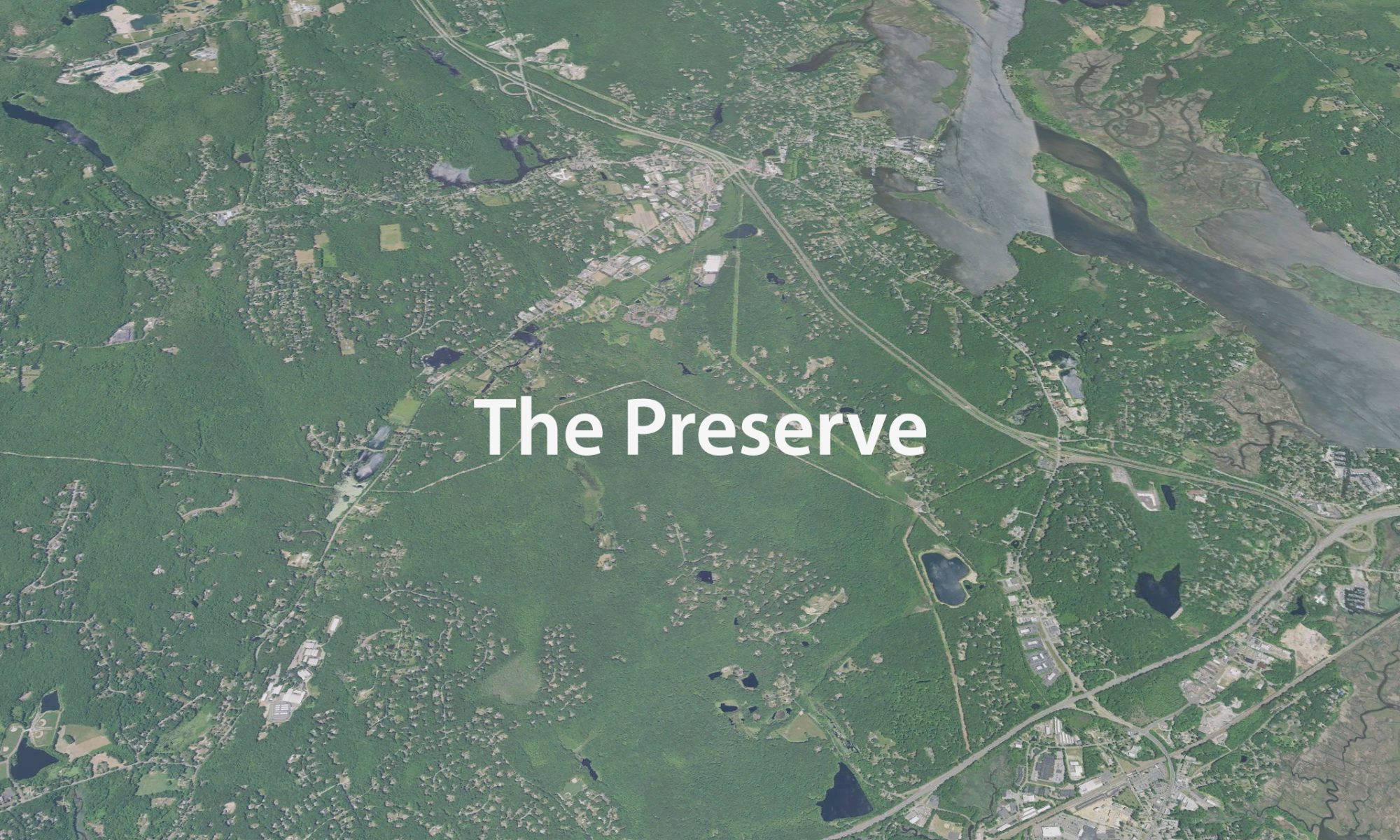
This run supports OSPR (Old Saybrook Parks & Recreation) and the multiple ways in which they aid in early childhood development and learning, as well as call attention to The Preserve. The wetlands and swamps of The Preserve, a 963 acre forest right in our backyard, provide drinking water supply to two towns, and are home to many species of conservation concern.
15k (ish) Map
A completely runnable course, wide trails, appropriate for any level of runner. GPS watches are all different and report different distances on the course. We have gotten ranges anywhere from 9.1 to 10 miles. Our GPS data when mapped in Garmin Basecamp shows a 9.6 miles which includes the 0.2 formation lap around the fields. You can download the GPX file below.
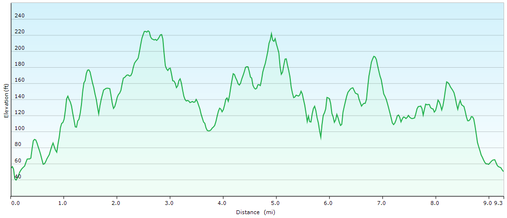
Elevation Map
Around 1300ft of elevation gain over the 9.6 mile loop.
Course Description
The course is an entirely runnable off-road loop within The Preserve covering ground through Old Saybrook and Essex, Conn. made up from a series of wide interconnecting hiking trails. You should expect some roots and rocks but the course is appropriate for all levels.
Checkpoints
- 4mi run will have 1 trail checkpoint at mile 1.7
- 15k run will have 5 trail checkpoints at mile 1.7, 3.6, 5.7, 7, and 8.8
- All checkpoints will have water for participants
Trail Markings
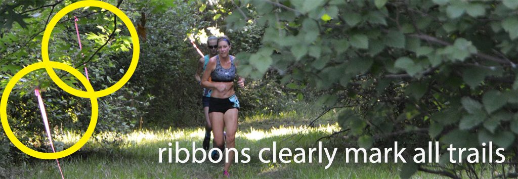
All trails will be marked with clear color coded ribbons, ground flags, and directional arrows at all trail junctions.
*This is a true trail race and due to the inherent risks, participants will be exposed to the risk of injury. While every reasonable effort will be made to ensure your safety and enjoyment, you must be prepared to accept full responsibility for these risks and sign the liability waiver on the application form as a condition of your entry.